Low pressure that is hanging just north and west of us helped pull out the marine layer by developing a strong northerly flow aloft. As that system dissipates and moves east, the usual north westerlies will return and deliver another round of foggy mornings. Do not despair, as it does not look likely we will have the prolonged fog we enjoyed (or endured, depending on your outlook) on Friday and Saturday. What we do get is a warm up today and the bonus that provides for the rest of the week. Maybe 80F today. Sure feels like that on my deck. Mid 70s for the rest of the week. Yup, todays warming allows us to stay above the 60s, at least through the weekend. By Friday, thing cool down, but we should uptick a bit Sunday into Monday. Up in the Sierra, the Labor Day Weekend it could be cooler than the coast, with upper 60s forecasted at 8000F and maybe 80F at lake level.
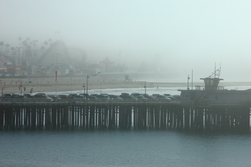 |
| While today started sunny, and with a little luck, tomorrow will, fog returns later this week. Main Beach, Santa Cruz. |
Big news is the upcoming swell for the weekend. It has been a while since we have seen much in the way of waves, so expect the crowds to be out there. South swell should begin filling into California sometime during the day Friday with tiny quite long period swell. Things pick up Saturday and by later in the weekend, we should be seeing nice, chest high to well over-head southy lines. It is gonna be fun out there, but get to your secret spot early to avoid thousand of other who plan to be out there. A little energy to follow through the first part of next week as well. Get some.
Long term, high pressure is to control our part of the Pacific for at least a week. Low pressure continues to try to make inroads to the most northern part of the Gulf of Alaska, as well as the northwest Pacific. Maybe 10 days out we could see some systems building in further south. The models suggest this a bit, but it is really too early to tell. Still, it is not odd to see a few mid sized storms run into the PNW come mid September. For now, a few foggy mornings and warm afternoons. Enjoy.
No comments:
Post a Comment