 |
| Looking north at Tahoe, the pack is pretty thick still. |
I think the real big news here is that it is going to get cold tonight, and stay chilly over the next few days. Sure, when the sun actually does poke out, it will warm things up a bit. But it is still going to be chilly. Today is pretty nice with warmer areas reaching about 70F, and sunny through most of the day. This evening, the clouds build in pretty quickly and a cold front will pass through. Freezing levels may briefly drop as low at 1500 feet over night. Now that is January (well, in a normal year) cold with coastal highs in the mid to high 50s. It looks like some time past midnight, we may see some rain, but the heaviest stuff will remain to our east. And will mostly fall as snow. Clouds and drizzle stick around for the rest of the work week. Some clearing for the weekend, with partly cloudy skies and mid 60s ahead of the next system to arrive late Sunday. Two storms for next week.
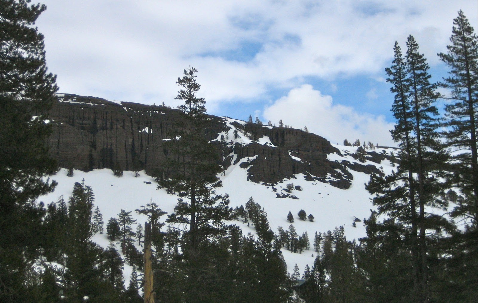 |
| Melt water streaks Red Cliffs |
The snow pack has settled quite a bit over the past week. A fairly decent pack can be observed at 5000 feet, with bare spots around south facing rocks. It is receding quickly at lower elevations. Once you get up to 6500 feet, there is still a lot of snow. And while it has settled and burned out a lot at 8000 feet, there is still a tremendous amount of snow up there for April. All the melt off has helped create significant runnels in the snow. These can be observed both in the resorts and in the back country. I was told to think of them as mini Alaska spines. Regardless, they add a bit of texture to the snow pack, and it is good to know they will be under what ever new snow that falls. This is what happens when you get 15 feet of snow in spring, followed by some very hot days. Even the suncups are beginning to show. Just the opposite of last year, when we did not see deformation in the snow surface until mid June. Perhaps additional, lighter, but regular snow storms will slow the process.
 |
| Signs of spring are all around. |
Next week looks turbulent as well, with systems arriving both on Monday and Thursday. We see a little back and forth over the next 10 days, then expect the jet to shift more to the north. This would suggest warmer and dryer weather to finish out the month. But as usual, it is too early to tell, and this time of year, things can change pretty quickly. Sun today, clouds, cold and some rain tomorrow. Friday is gloomy, with a little sun and a bit of warming for the weekend. More storms next week.
No comments:
Post a Comment