 |
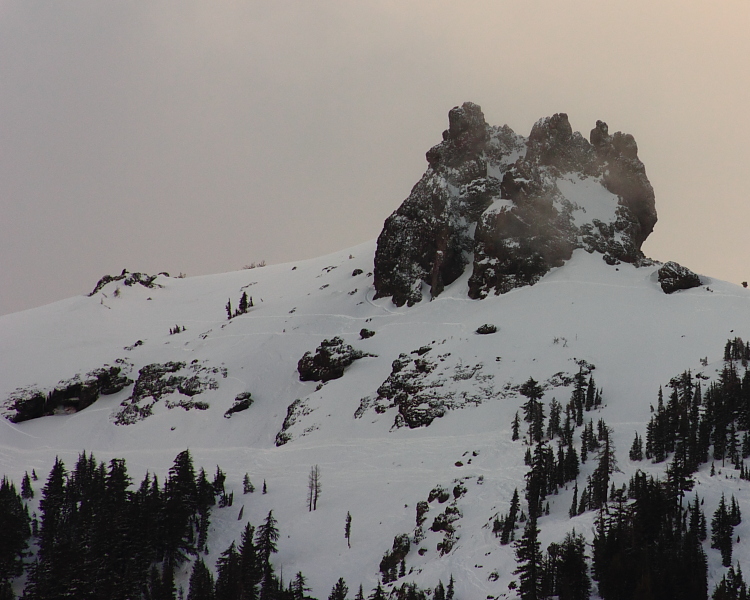
| Glove Rock looking majestic at the end of a spring powder day. |
Low 60s today. High 60s for the weekend. Pushing toward 70F for Monday. But this will of course, all come at a cost. Remember the low pressure system sitting and growing off the coast to our west. That thing that is pumping warm air from our south and giving us some superb spring days ahead. Well, sooner or later, it needs some where to go. And in general, at our latitude, things tend to move toward the east. And this one is a slow mover. Looks like we could even see a small squall move through as early as Sunday evening. Doubtful though. And it won't ruin our coming Monday (which is looking prett sick). But come Tuesday and Wednesday we start seeing that thing edge closer, and maybe even swinging some bands through. And as that storms moves closer, the pump shuts down and cool air from the north will be upon us. 60F on Tuesday and cooler the rest of the week. By Thursday, chances for rain increase. We could see a wt 24-36 hours. Maybe an inch, with over a foot in the Sierra by Friday evening. Maybe another good weekend beyond that.
No comments:
Post a Comment