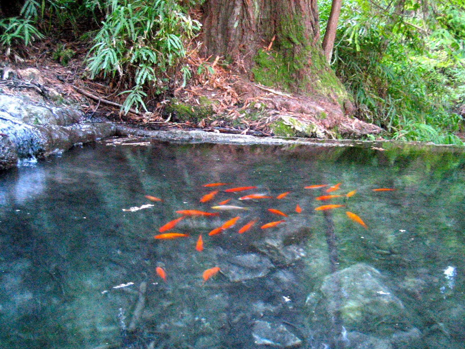
 Last evening turned out pretty nicely here in Santa Cruz. The strong winds dies down to a mere moderate, and the air was crisp like a late fall day. That weather pattern felt very autumn-like with the dramatic shift from warm to cold. Some areas in the Sierra saw their morning time temperatures drop 25F in just one day. I spent most of the day indoors, and felt like I just needed to get outside. With the daylight beginning to stretch back into the realm of reasonable, we were able to find time for a brisk walk up in the Pogonip. It was a reminder of how beautiful this place really is. The late winter light was just perfect giving the ocean a deep purple hue. The mossy kiln and shimmering koi, still full of magic. And it will just get better. It won't be long until those redwood groves begin looking like misty Endor.
 Nice, but when is it going to rain? This morning's charts look clear for the weekend, with just some cooling, and most of that on Sunday. But that will only be noticeable because things get warmer tomorrow and pretty darn nice by Friday. Expect some breezes with the approaching cold front Sunday. More cooling on Monday, but still looking dry in the morning.

Snow? You betcha'. And right now, it looks like things may come in just right. The first wave should be warmer, and hence better at gripping the snow underneath. We could see 6" of fresh by Tuesday morning when the lifts start turning. Maybe more. And then it should keep on snowing steadily through the week, with a good foot plus push coming in on Thursday. As each day goes by, each wave is looking just a bit cooler than the prior. By President's Day Weekend, we should have several feet of new fluff on the ground. Then things clear up early Saturday morning allowing the hordes to descent on Tahoe. Ski Week is looking even better because it will start off with packed powder.

Nice on Friday. Sneak out early if you can and get the tail end of this California dreamin' weather. Use this weekend wisely and take care of what you need to get done outdoors. Rain is coming around Tuesday and staying through the work week. The following weekend is looking cool and clear(ish). The timing may be all wrong, but confidence is high in the pattern change.
No comments:
Post a Comment