 |
| More snow for the Sierra. |
Over a foot of snow fell between Saturday night and Monday morning at the higher elevations across the cross. A bit of a shock for mid May, and more than what was modeled. And now on the models we have even more precipitation and cold air forecasted through late tomorrow. We may see some locations along the crest, north of the lake receive another two feet of snow by Wednesday morning. A few inches down at Lake Tahoe and about a foot at 8000 feet. This may push our winter into the top ten for snow fall, and set May up for the 12 month in the last 13 to have below average temperatures. A great spring day for all those folks still playing in the snow. Squaw is now the only Tahoe resort open. After today will be just weekend through the upcoming holiday.
For us folks down on the coast, we see another day of on again/ off again rain showers, with another strong wave expected to arrive this evening. Rain should continue through late Tuesday and the air will remain cool. This winter thing really has a grip on our area. Heavy rain (yes heavy) should fill in across the region, from the north, late today and into the evening. That will change to scattered showers for Tuesday, with a second wave of wide spread showers filling in tomorrow evening. All in all, plenty of water in what is already a great water year. We may see some river basins reach over 200% for their water year this season. Yipee! We need it.
 |
| Pleasure Point along the new sea wall. |
Sometime on Wednesday we should see that weather break, and the temperature rising. That will be welcome. Low 70s likely in Santa Cruz for Thursday and Friday and slightly cooler for the weekend. More weather will try to impact the area, but we expect this next round to stay clear to the north. Still, increasing clouds and low to mid 60s for Saturday and the weekend. High pressure will try to edge in during the first half of next week, while a large scale low pressure system hangs out just off the Oregon coast. Time will tell which will win out. Ridging should amplify by later in the week, and currently the holiday weekend looks like we could see some warm weather.
 |
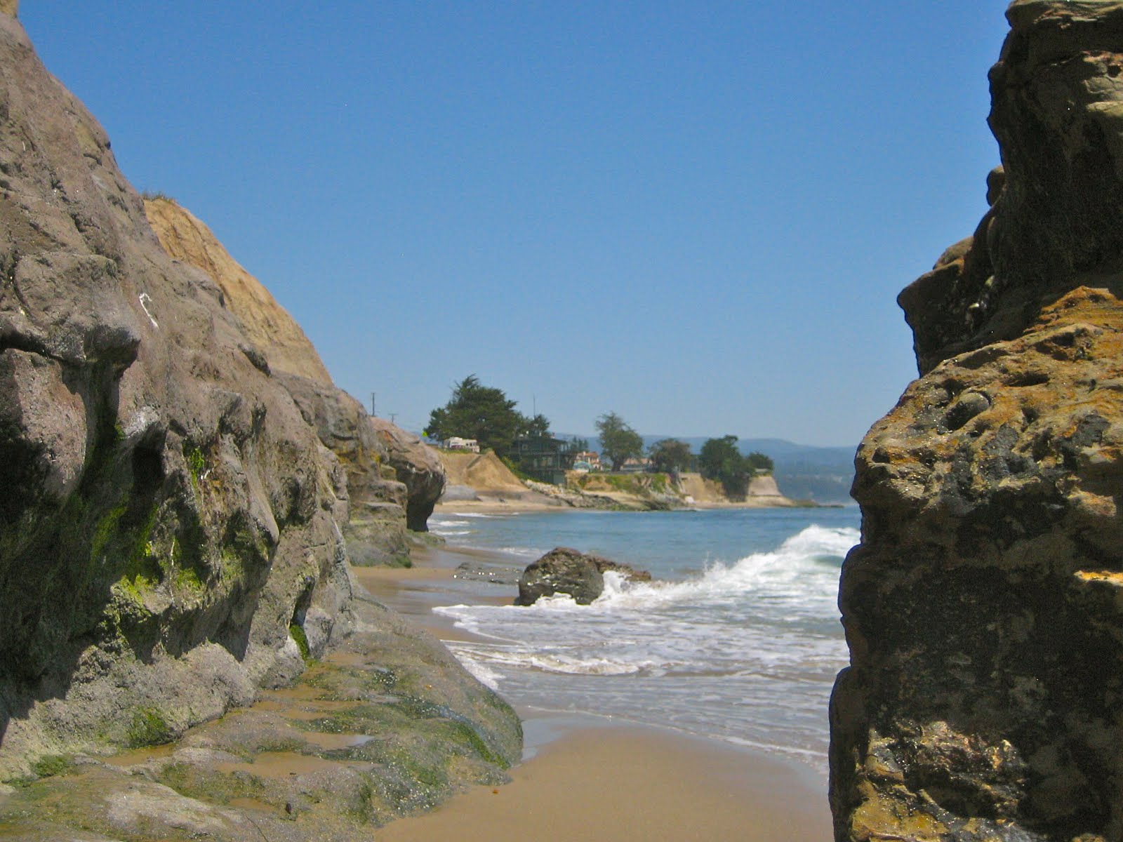
| Second Peak and the reef at low tide. |
The big news for the surf scene is an approaching south swell. It is already in the water and on its way to the California coast. This is the first real swell of the summer season. Things should start juicing up on Wednesday with deep water swell showing at 2'@20s. The peak should occur from midnight to early in the morning on Friday with pure swell reaching over 4.5'@18s, showing at the better breaks with 8-10 foot wave faces. Not shabby at all for a southy. Winds may be of concern on the open coast with some decent NW breezes expected, but in town in Santa Cruz, expect great waves and epic crowds. This is our summer opener. Swell should diminish, but continue through Saturday with small remnants still around on Sunday. even if the wind pattern is not perfect, this event is at least pairing up with the better weather for the week. Get out and get on it if you like to call yourself a surfer.
in short, rain and cool weather continues today. Widespread rain tonight and scattered showers Tuesday. Showers become more widespread Tuesday evening and the sun begins to break out mid morning on Wednesday. Thursday and Friday are mostly sun and pretty warm. Partly cloudy and a touch cooler for the weekend. There you have it.


No comments:
Post a Comment