 |
| Cypress and sunset viewing seats along West Cliff. |
The weather continues as it has been. Cool to cold mornings. Not quite freezing on the coast, but that is like splitting hairs. I am sure if you are an early morning commuter, you have bought an ice scraper by now. Or at least destroyed a number of CD gem cases (do those still exist?) Freezing temperatures are happening in the central valley and the southern San Joaquin. This is hard freeze weather. It is not a bad idea to have some floating row covers out there is you have any less than hardy plants, including seedlings. Tuesday morning looks to be the coldest one this coming week. Day time highs are reaching to the high 50s and (very) low 60s across the region. It is the kind of weather that is warm in the sun and cool in the shade. I can attest that changing out of a wetsuit after sunset is a cold experience indeed. Expect this weather at least for the next week. We did see a small system forecast for next Thursday, but that has disappeared from the models. In fact, we currently see high and dry through the end of the month.
 |
| Empty waves on the north coast, Santa Cruz County. |
For those who live in the central valley, or those who travel through them, thick heavy fog will be the name of the game in the morning hours. This fog can persist all day in areas. This is typical of this winter like pattern. An inversion sets up, where cold air pools and gets trapped along the valley floor, while warm air, which is lighter, floats on top. The border between to the forms fog that can last until the next storm brings winds that sweep out the valley. So use caution, drive carefully, and plan for extra driving time. This goes for the holiday season as well, as it looks like we will not see a storm on the front side of the period.
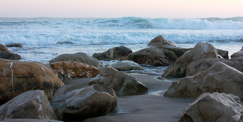
Surf is starting up again today. In fact, it never quite went away this week. Nothing like last weekend surf, which got quite good. SOme might have called it epic. Still, we have a new swell in the water today, showing a little overhead and with clean conditions. Another larger swell arrives some time Sunday, with clean morning conditions. It looks like storms keep on rolling off of Asia into the NW Pacific before getting bumped north and shut down by the blocking high in the Gulf of Alaska and along the west coast. While this is not great fro giving us rain and snow, it is pretty ideal set up for surf. While we won't be getting a Maverick's swell from this pattern, we can get plenty of clean, decent sized days.
 |
| Looking south to the Monterey Peninsula, from West Cliff Drive. |
So in short, get out there and enjoy the weather. It is that kind of pattern. Not hot by any means. Barely warm. Still, it is nearly perfect for any activity that gets the heart rate up. And soon enough, it will be rainy, and you don't want to think then that you should have enjoyed outdoor California back in December when you were busy shopping at the mall. Lows in the high 30s, highs almost to 60F, and clear skies.
No comments:
Post a Comment