 |
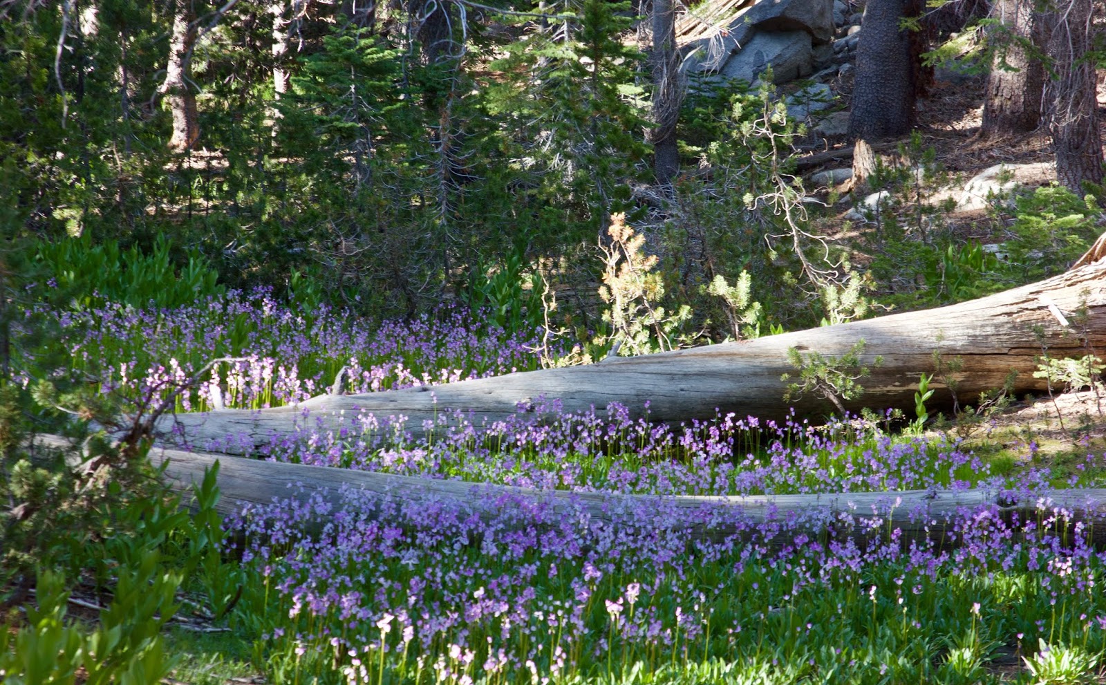
| Rain is coming, which means more flowers next year. Below Lake May, Yosemite High Country. June 2018. |
Steady showers build back in tomorrow morning. It looks more like steady showers as opposed to shifty gusty intermediate thunderstorms. At least through the day and evening hours. A half inch or more in town through the daylight hours, with more if that falling in the afternoon. A high of about 60F. Breezy out of the southwest. Steady showers continue into the night time hours, with some stronger cells moving through around midnight. We could see some strong gusts late night. 35mph or more. A low in the 50s again. Another half inch or more of rain. Let's say, for now, sunrise Wednesday to Thursday we are looking at 1.25" of rain. Not bad for a solid start, because that is not the end of it.
The strongest winds look like they will occur Thursday morning with gusts up to 40mph from the southwest. Rainfall lightens up a bit from Wednesday night, but remains a fairly steady shower. Thunderstorms could roll through and bring short bursts of very heavy rain. Basically a storm day. There are some indicators that suggest a very wet day Thursday. Others suggest not so much. Right now it could be as little as a half inch, or upwards of a full inch. High around 60F. The storms clears out in the afternoon. Raina and winds lighten. Some clouds clear overnight. Light showers and maybe an additional tenth of an inch. Cooler, with some stars. Around 45F. Winds remain brisk, and shift from the northwest.
Friday could be kind of sunny. Lots of clouds to make for great sunrise and sunset. It will be cool, with a high of just 60F, despite the sunshine. That last system brings in cooler air. But the real cold comes on Friday night, as clouds fill back in and rain returns. Low around 45F. Showers on Saturday, and cool, only in the upper 50s. The weekend system does not look as wet, but all together we expect between two and a half and four inches of rain in Santa Cruz. As of 9PM Tuesday, we have almost a quarter inch on Western Drive. Only 3.75" more to go to hit the high mark, and 10% of the way to the low end. Let's see how this all rides.
Cold air will be in place Sunday and early next week. The weekend storm has forecasted freezing levels around 3500'. We could see some snow in the Santa Lucia. Low on Sunday and Monday nights could be below 40F. Highs in the upper 50s. About 60F on Tuesday.
And another system might slide down the coast next Wednesday, bringing much needed rain to SoCal. The best news is this week's storms is bringing a close to one of the worst fire seasons in history. Good riddance.
No comments:
Post a Comment