 |
| This kind of weather brings rainbows, and a few double rainbow moments. |
Of course, if this thing shifts even 50 miles to the east or north, and the results will be drastically different. Be prepared for anything this coming week. I can say with confidence that the weather will stay fair through Wednesday, with each day warming up a bit more than the day before. It will not be as chilly as this past weekend. As the storm approaches from the north and west, it will draw up warm southern air in front of it. This could have us seeing high 60s to low 70s by Wednesday. Now Thursday is really up in the air. If this storm tracks inland further north, over our region, or even near Big Sur, we will begin to see rain on Thursday. Otherwise, Thursday will look like Wednesday. Kind of the calm (and kind weather) before the storm. By Friday, regardless of track (unless this thing stays off shore, and we get no rain) we should be seeing rain at least by the evening. As the rain moves in, the air cools, but not terribly so. Low to mid 60s.
Saturday could remain showery and cool. Things look to clear by Sunday, but this thing could hang over us. Even if we do clear up, we could still see a band or two over moisture briefly move over the area, as everything shifts east to the Rockies. Another change in the models this morning is a through setting up over the east coast by Wednesday of next week, allowing for a strong high to raise up over us. This would mean a return to continued dry weather. But take no credence in this yet, as yesterday we had several small storms hitting us before Thanksgiving, with the last one moving through on the 21st. Worth watching for you roofers and bird watchers out there - or anyone who'd like to see more of the awesomeness of autumn.
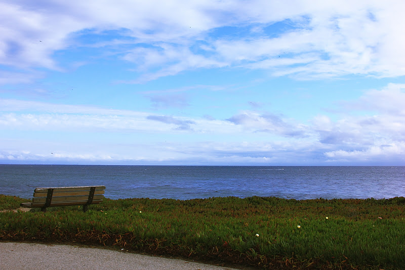 |
| Before the storm. Calm and clouds along West Cliff Drive, Santa Cruz. |
Kelly Slater claimed his 11th world title (for reals this time) in San Francisco yesterday. The Rip Curl Pro is planning to run the final day of competition today. Waves look to be several feet overhead, with just a bit of warble and bump in the mix. We are in a decent run of stormy surf currently. If we get another high pressure set up upon us, the storm corridor north of Hawaii should open up, and we could get some clean longer period surf for a bit. In the short term, it is brief periods of calm in between the winds.
Nice today and warming. Quite pleasant by Wednesday. Thursday is a crap shoot. As is the first half of Friday. Rain likely by week's end. Brief, but strong. Clearing around Sunday. long term up in the air.
Edit to note that the Central Valley, especially the Sierra West Slope, is experiencing heavy fog this morning, and this could persist through at least Wednesday. Hopefully, this coming storm will knock out the inversion developing. If you plan to drive through the area, plan ahead, and leave early. Visibility will be impaired. Yup, it is that time of year again.
No comments:
Post a Comment